Fond de carte
- Titre
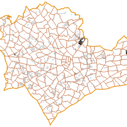
- Cadastre EDIGeo Montpellier with FlatGeobuf
- Description
- This project has been build to test FlatGeobuf.
The data has been downloaded from French Plan Cadastral Informatisé, loaded into PostGIS database with QGIS Cadastre Plugin, then export to FlatGeobuf files with QGIS Processing.
All the layers are FlatGeobuf files. - Structure
- 3liz
- Projection
- EPSG:3857
- Emprise
- 419407.22480000002542511, 5398129.94180000014603138, 443139.27929999999469146, 5412404.3477999996393919
- Service WMS
- WMS URL
- WMTS URL
- WFS URL
Choisir un traitement à effectuer